
by Anne Naumann
Calgary River Valleys is a non-profit organization dedicated to building a strong and effective voice for river valley protection and water quality in Calgary. We consider ourselves to be “the voice of our rivers.” But did you know CRV also provides input to Calgary’s urban planning process with a focus on the impacts to Calgary’s rivers, creeks, streams and wetlands?
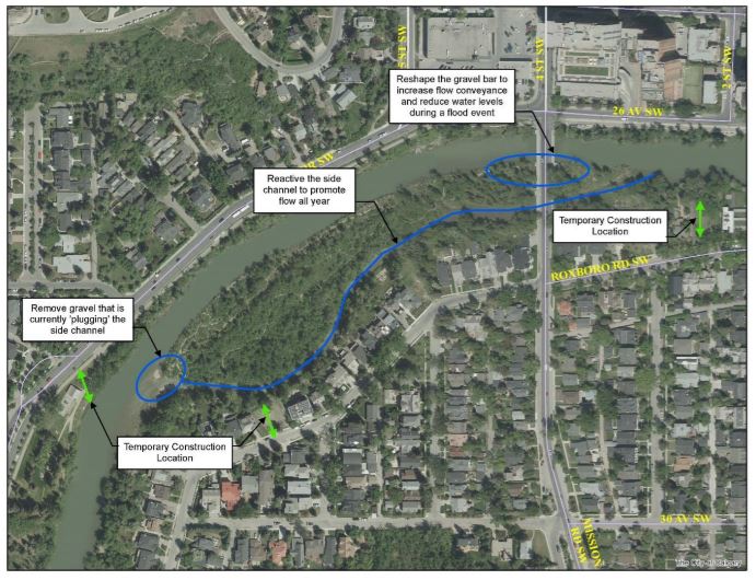
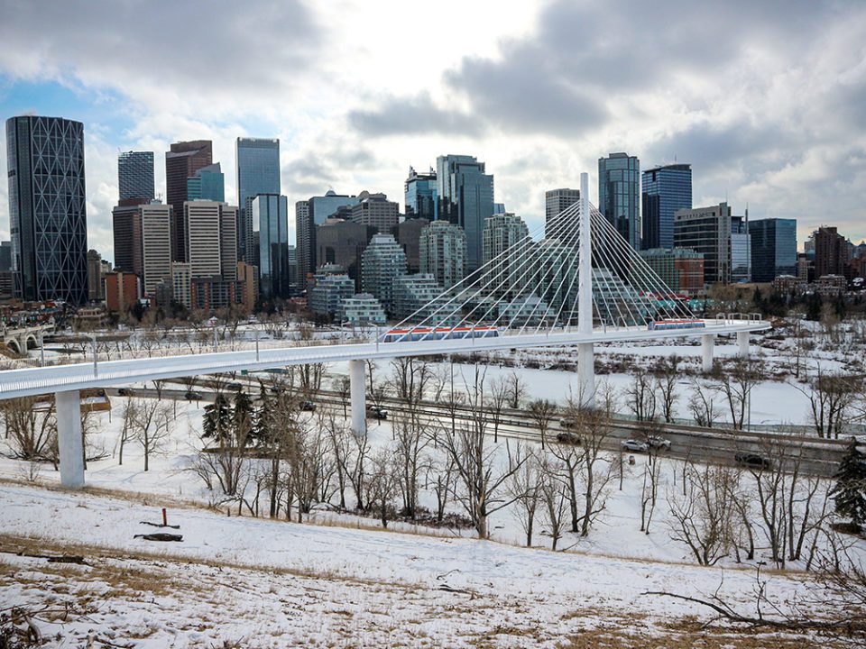
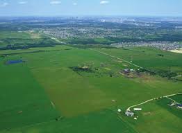
In recent months, CRV has provided input for the Calgary Event Centre (the new Flames arena complex that will be in the Elbow River flood fringe), the GreenLine LRT (a planned change from a tunnel to a bridge over the Bow River), a redevelopment proposal in Elbow Park, and the Providence Area Structure Plan (a land-use plan that will guide development of 10 new neighbourhoods on a large land parcel west of Evergreen and Bridlewood and south of Tsuut’ina Nation).
Your Community Association may have a Planning and Development Committee that reviews development and land use proposals for your neighbourhood. Calgary River Valleys’ efforts are similar but are generally for large new land-use proposals that affect surface water and groundwater.
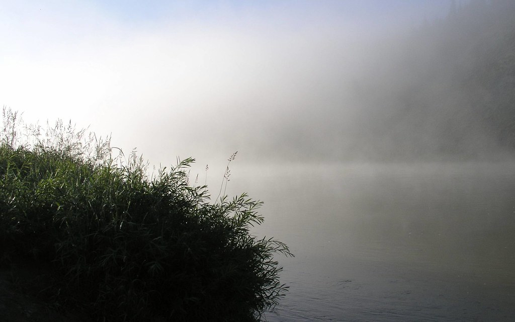
First, a few definitions. Surface water is literally that, water that is on the surface of the land, and includes rivers, creeks, small streams, and wetlands. Surface water flows downhill and joins with other tributaries to a larger creek or river. Every development impacts surface water in some way.
When farmland is turned into a new neighbourhood, many of the wetlands and small streams on the land are drained. To manage the natural surface water and prevent the wetlands and streams from re-forming, storm water pipes are buried underground to capture and send the natural surface water as well as rainwater to storm water outfalls at the nearest large creek or river. This results in a permanent removal of the natural surface water from the area.
Groundwater is water that flows underground through the layers of rock and soil. It flows toward a larger water body, and often collects in an underground aquifer, which is essentially an underground lake or reservoir. It eventually connects to surface seeps, springs, a creek, or a river.
You may have seen water coming out of a rock wall (a “seep”), or a spring flowing from a spot on the ground. This is groundwater, which is recharged or “topped up” by melting snow or by rainwater absorbed into the ground. With urban development, rainwater is routed into stormwater pipes and isn’t absorbed to become groundwater.
For surface water, groundwater, and stormwater management, CRV’s input to development proposals generally focusses on preserving as many of these natural water management features as possible and protecting wildlife habitat. Where these kinds of natural water features can’t be preserved, we often suggest that low impact development practices be adopted, such as creating fewer areas with hard surfaces that won’t absorb water.
If you want to learn more about our land use and planning review efforts, or the other work CRV does, please visit our website www.CalgaryRiverValleys.org or email us at [email protected].


